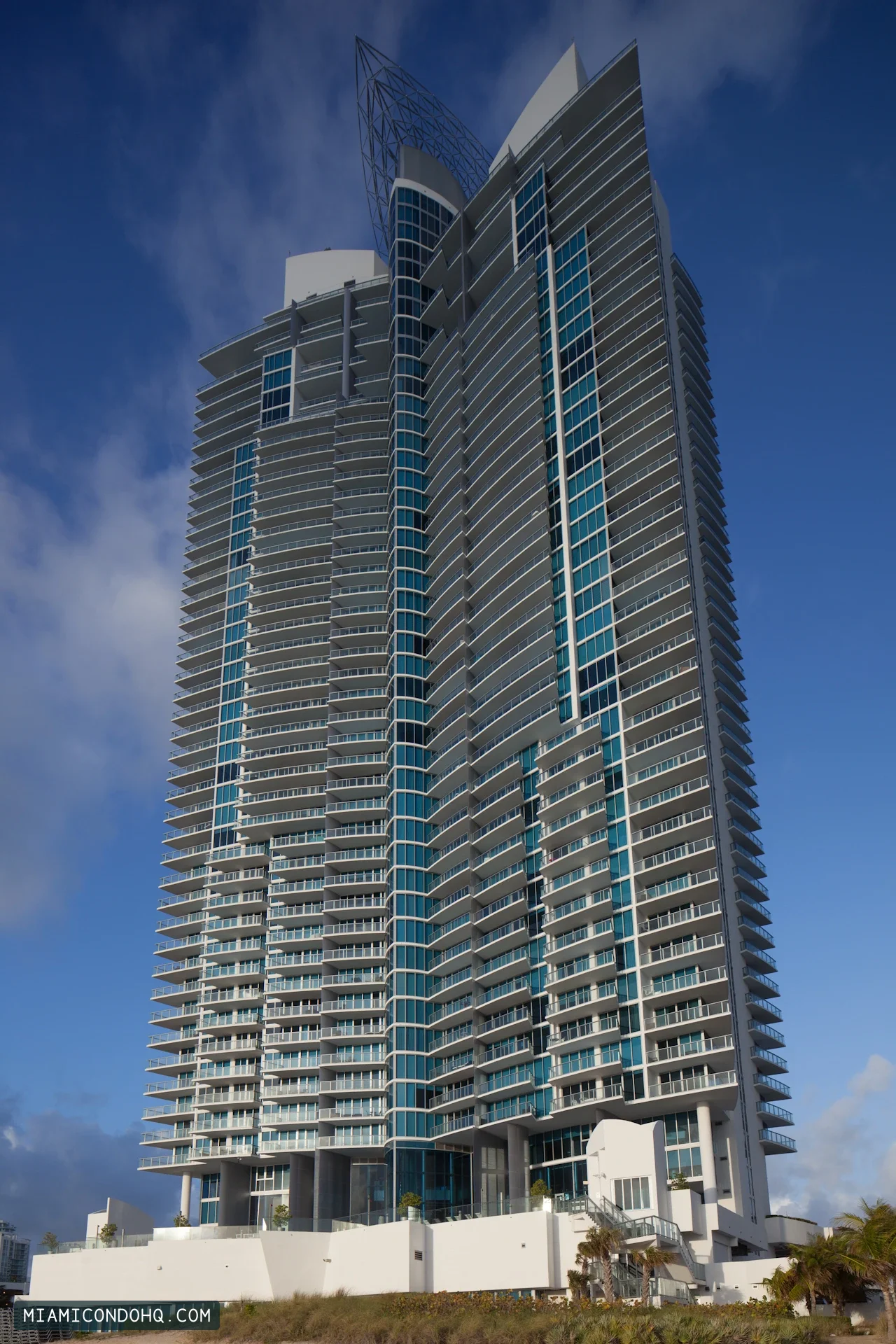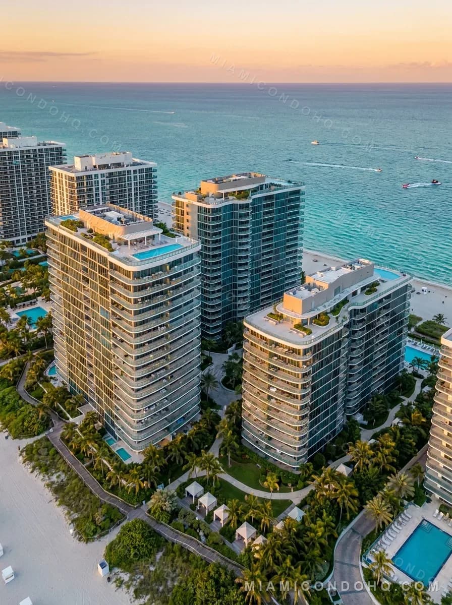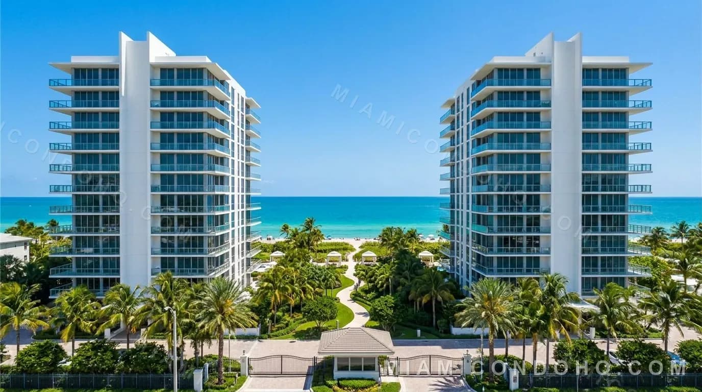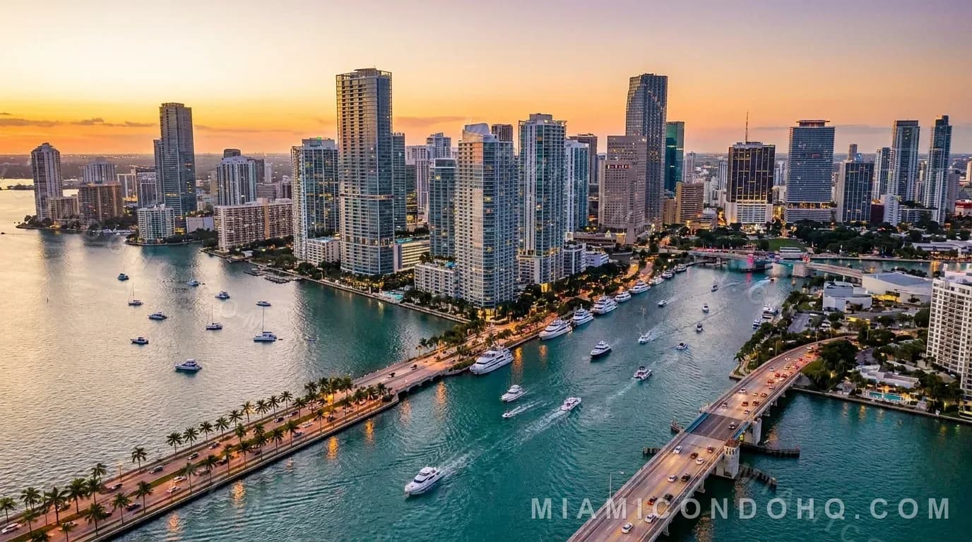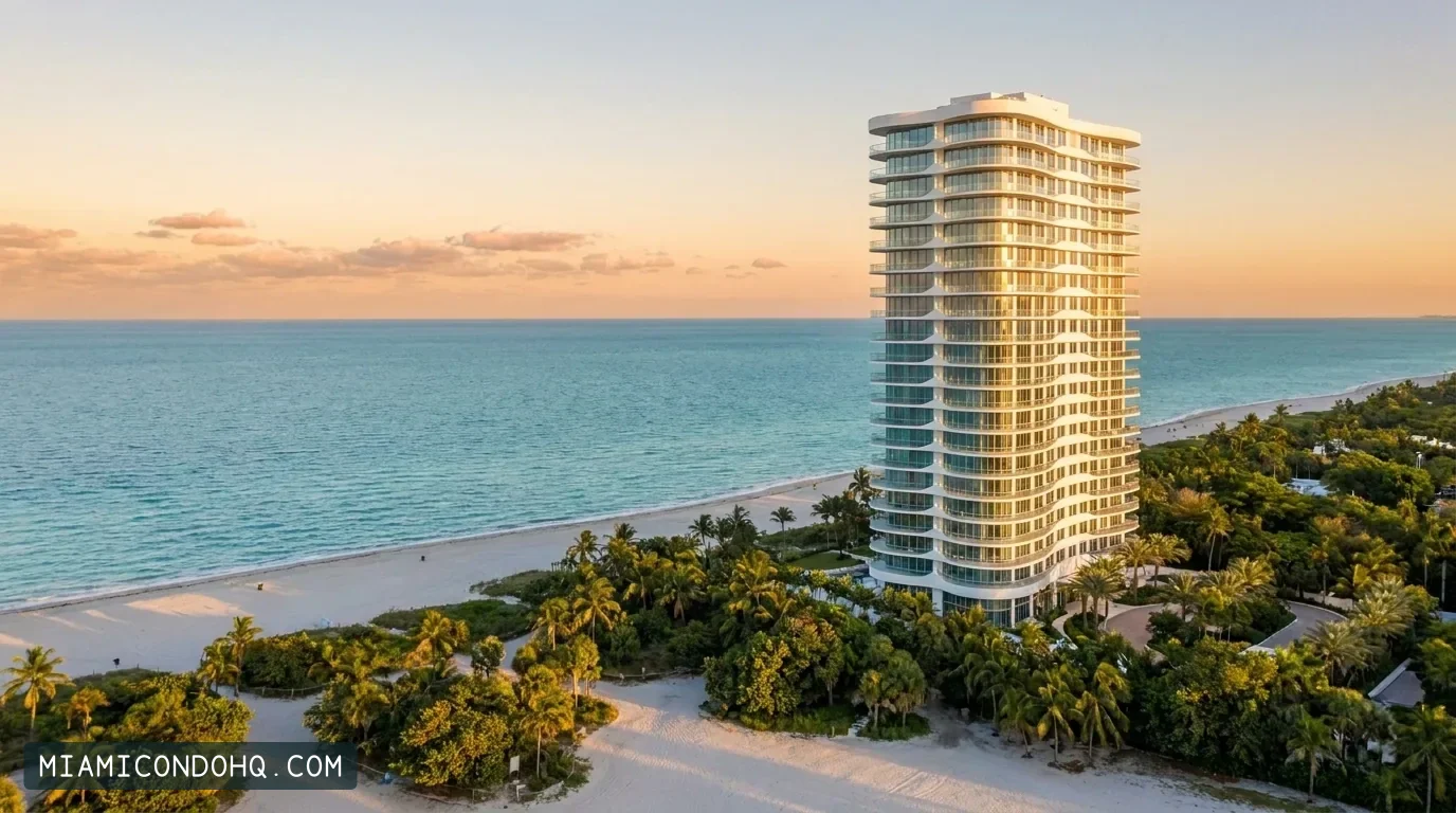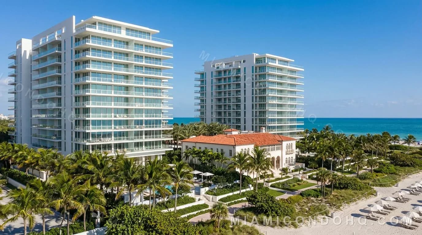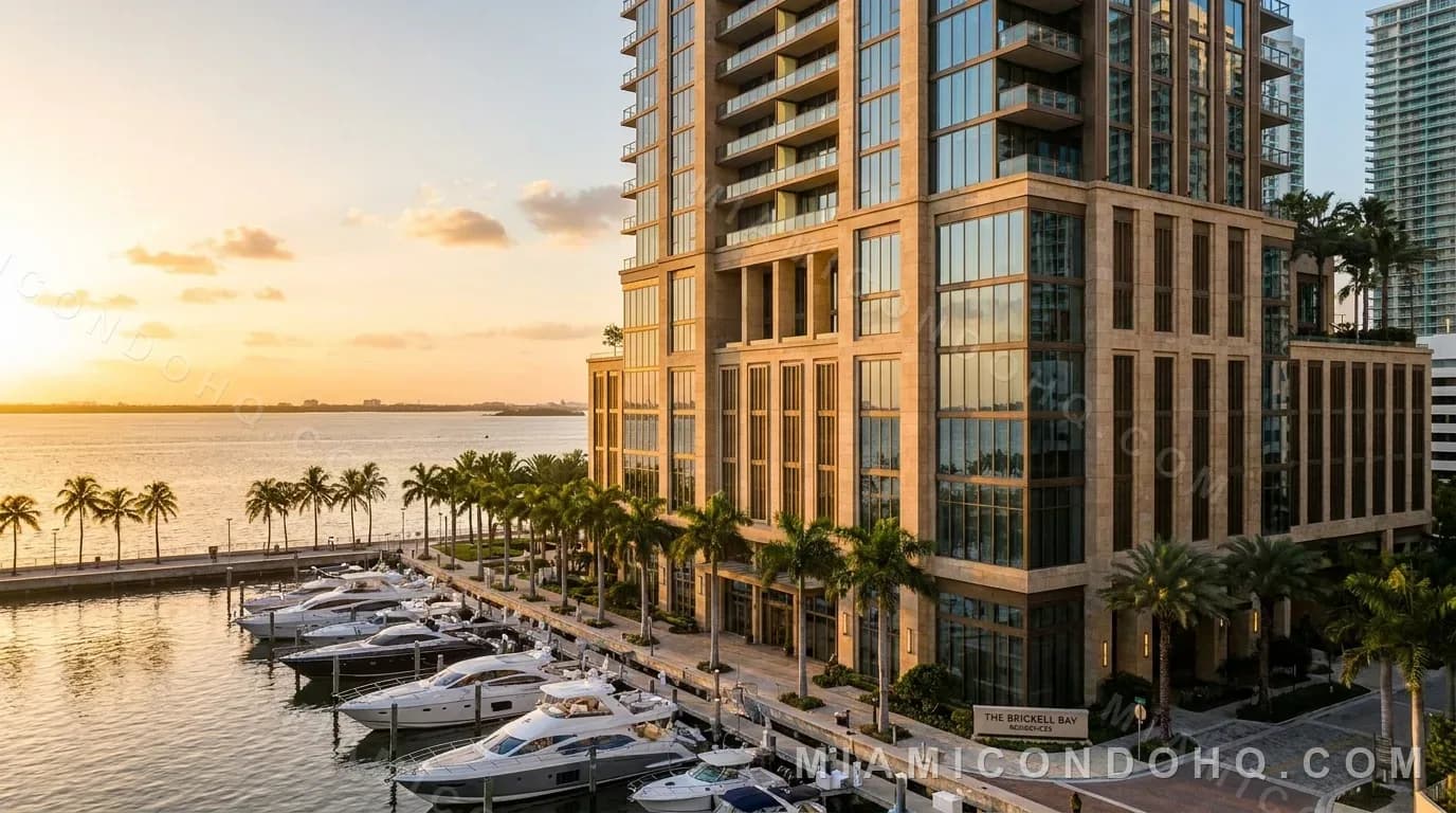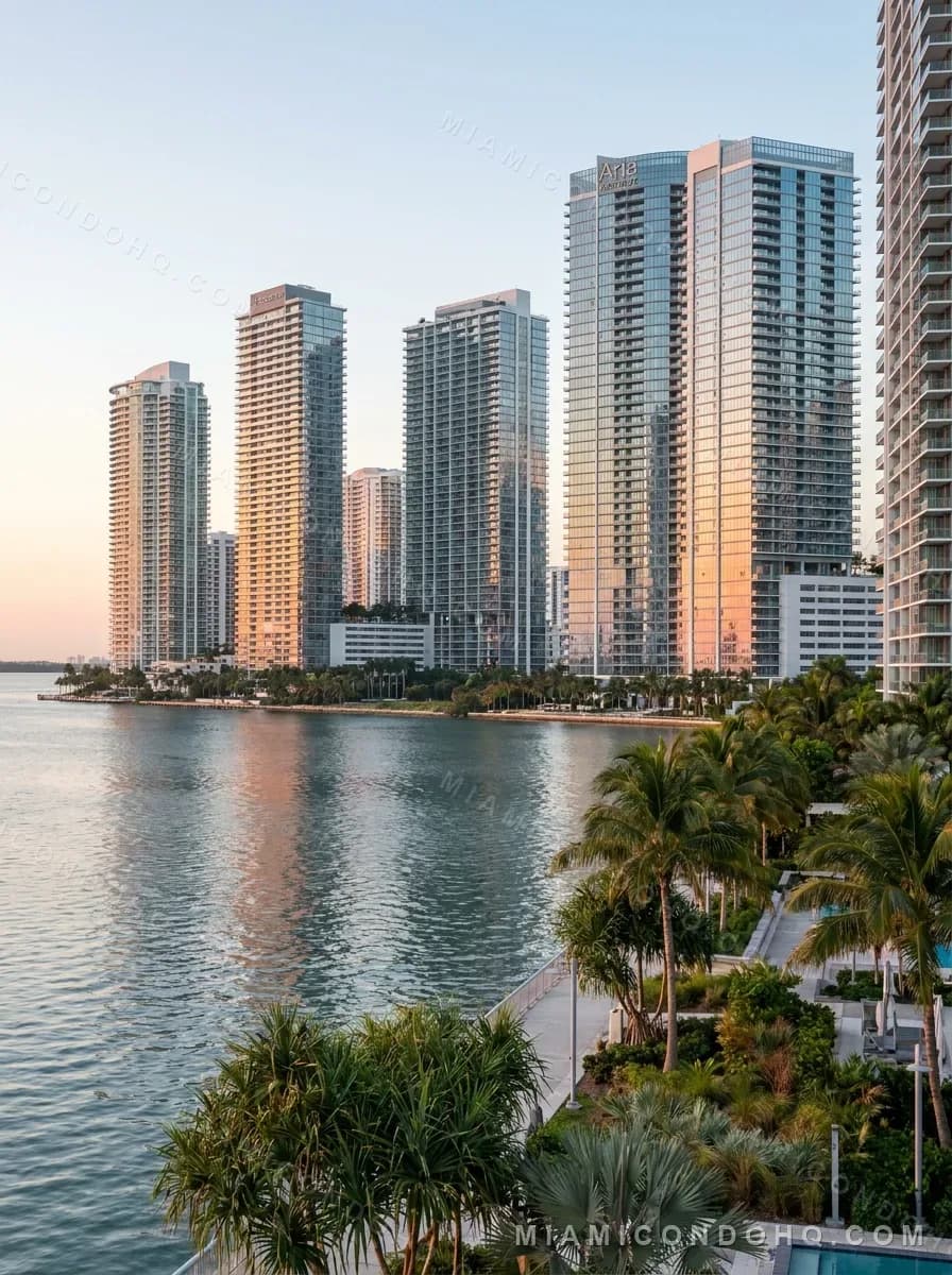
Oceanfront Miami condos face east over the Atlantic and catch the sunrise, and they are the buildings Florida's Coastal Construction Control Line was written for. Bayfront condos face Biscayne Bay instead. FEMA's map does not rank the ocean side as riskier: on October 8, 2026, two oceanfront towers mapped Zone X and two bayfront towers mapped Zone AE.
Which way the glass faces decides the light
Miami Beach, Bal Harbour and Sunny Isles Beach sit on barrier islands with the Atlantic to the east and Biscayne Bay and the Intracoastal Waterway to the west. A residence on the ocean side gets morning sun over open water, and by afternoon the sun is behind the tower. A residence on the bay side of the same island faces west, toward sunset over the bay and the mainland skyline, and takes the afternoon sun on its glass. Mainland bayfront towers in Edgewater and Brickell look east across the bay, so they also get sunrise over water, with the islands on the horizon instead of open sea.
Developers build around this. Fortune International Group describes Jade Beach, at 17001 Collins Avenue in Sunny Isles Beach, as a 248-residence condominium by Carlos Ott and Luis Revuelta with both a sunrise pool and a sunset pool. On the bay side of South Beach, Mirador 1000 stands at 1000 West Avenue, and county records give it a 1968 year built. A few blocks south, Related Group describes bayfront pools at ICON at South Beach, 450 Alton Road. In any of them, the view depends on the unit's line, so check the plan's compass direction, not the building's label.
Marketing words blur this. Our record for Missoni Baia notes that its bayfront setting is not direct Atlantic Ocean frontage, and Biscayne Beach in Edgewater has an elevated artificial beach, which is not an ocean beach.
The control line belongs to the beach side
Section 161.053 of the Florida Statutes directs the Department of Environmental Protection to set coastal construction control lines county by county along sand beaches fronting the Atlantic Ocean, the Gulf of America or the Straits of Florida. Each line marks the part of the beach and dune system subject to severe fluctuations from a 100-year storm surge, storm waves or other predictable weather. Seaward of it, special siting and design considerations apply. DEP says the program regulates structures and activities that can erode beaches, destabilize dunes, damage upland property or block public access, under standards that may be stricter than elsewhere in the coastal building zone.
Biscayne Bay is not on that list, so the line mainly concerns the ocean side. For an existing oceanfront tower, two provisions matter. Section 161.053(11)(a) exempts maintenance or repair within the existing foundation that does not touch the foundation, but expressly excludes seawalls and any additions or enclosures below the first dwelling floor. Section 161.053(12)(b) bars DEP from permitting repairs or rebuilding that expand the original structure's capacity seaward of the 30-year erosion projection. When an oceanfront association plans seawall, pool deck or ground-level work, ask whether it lies seaward of the line and whether a DEP permit is pending.
The disclosure an oceanfront seller owes
Section 161.57 adds a buyer-facing rule. When an interest in real property partly or wholly seaward of the control line is sold, the seller must give a written disclosure at or before contract. It says the property may be subject to coastal erosion and to federal, state or local coastal regulations, and that DEP can say whether the shoreline has significant erosion conditions. Unless the buyer waives it in writing, the seller must also provide, at or before closing, an affidavit or survey showing where the line falls on the property.
Do not rely on it as protection. A seller's failure to deliver the disclosure, affidavit or survey does not impair the contract, create a right of rescission or impair title. Have your attorney confirm whether it applies to your unit, and look up the line yourself with DEP's Locate the CCCL tool.
What FEMA's map showed at five tower addresses
FEMA defines the Special Flood Hazard Area as land with a 1 percent chance of flooding in any year, and its FloodSmart site says high-risk zones begin with A or V. Zone VE covers coastal areas with that chance plus an additional hazard from storm waves, which FEMA puts at a 26 percent chance of flooding over a 30-year mortgage. Zone AE is the base floodplain where base flood elevations are published. Unshaded Zone X lies outside the hazard area and above the 0.2 percent annual chance flood.
We queried FEMA's National Flood Hazard Layer on October 8, 2026, at the county address points in our building records. Oceana Bal Harbour, at 10201 Collins Avenue, and Jade Beach both returned Zone X, area of minimal flood hazard, while the mapped area just east of each tower, toward the water, is Zone VE. Continuum's South Tower, at 100 South Pointe Drive, returned Zone AE with a base flood elevation of 8 feet (NGVD 29). On the bay, Biscayne Beach in Edgewater returned Zone AE at 10 feet, and ICON at South Beach returned Zone AE at 8 feet. The map panels returned for four of these points carry a September 11, 2009 effective date.
Zones are set address by address, so the words oceanfront and bayfront do not tell you a building's zone. A point query is not a formal flood zone determination either, because parcels can straddle zones and maps change. Pull the current map at FEMA's Flood Map Service Center.
How flood insurance attaches to a condo tower
FloodSmart states that owners in a high-risk zone with a federally backed mortgage must buy flood insurance. For the building itself, FEMA offers associations the Residential Condominium Building Association Policy, or RCBAP. FEMA's January 2025 brochure for associations says an RCBAP can pay up to $250,000 in building loss payments for any one unit, and that associations should encourage owners to buy contents or building coverage of their own. It lists location, proximity to a water source and building characteristics among premium factors, and warns of a possible 30-day waiting period.
Zone X is no guarantee. FloodSmart says one in three flood insurance claims come from low- and moderate-risk zones, so ask for the association's flood policy declarations whatever the zone. Our guide at /blog/miami-condo-insurance-master-policy-vs-ho6 covers how the master policy and your own policy divide the rest.
Questions buyers ask about oceanfront and bayfront condos
Is an oceanfront condo in Miami always in a higher-risk flood zone than a bayfront one?
No. On October 8, 2026, FEMA's flood hazard layer placed the address points of Oceana Bal Harbour and Jade Beach, both oceanfront, in Zone X, while bayfront Biscayne Beach and ICON at South Beach mapped Zone AE. The mapped area just east of both oceanfront towers is Zone VE.
Does Florida's Coastal Construction Control Line apply to bayfront condos on Biscayne Bay?
Section 161.053 of the Florida Statutes sets the lines along sand beaches fronting the Atlantic Ocean, the Gulf of America or the Straits of Florida, so it chiefly affects ocean-side buildings. Confirm any specific property with the Florida Department of Environmental Protection's Locate the CCCL tool.
Which side of Miami Beach gets the sunset view?
The bay side. Barrier-island towers on the Atlantic face east toward the sunrise, while residences facing Biscayne Bay look west toward the sunset and the mainland skyline.
Do I need flood insurance on a Miami condo in Zone X?
A federal lender requirement applies to high-risk zones beginning with A or V when the mortgage is federally backed, so Zone X alone does not trigger it. FloodSmart still reports that one in three flood claims come from low- and moderate-risk zones, so review the association's flood policy and consider your own.
What to check before you choose a side
Start with the unit. Find which way its line faces and visit at the hours you would use it. Pull the FEMA map for the exact address, then ask the association for its flood policy declarations, any DEP permits for seawall or beach-side work, and whether the condominium property lies seaward of the control line. Association names and records start at /condo-associations, and the neighborhood guides at /neighborhoods/sunny-isles-beach and /neighborhoods/edgewater describe each side of the bay. Profiles such as /buildings/oceana-bal-harbour and /buildings/biscayne-beach list their sources. Miami Condo HQ is a research publisher with no live Miami MLS feed, so we publish records and sources, not Miami prices or availability.
Sources and review scope
Sources checked 2026-10-08. The notes identify which facts each publication supports.
- The Florida Legislature — 2026 Florida Statutes, Section 161.053
161.053(1)(a): DEP establishes coastal construction control lines on a county basis along sand beaches fronting the Atlantic Ocean, the Gulf of America or the Straits of Florida, defining the part of the beach-dune system subject to severe fluctuations based on a 100-year storm surge, storm waves or other predictable weather; special siting and design considerations apply seaward of the lines. 161.053(11)(a): the requirements do not apply to modification, maintenance or repair of an existing structure within the existing foundation, excluding seawalls and additions or enclosures below the first dwelling floor. 161.053(12)(b): DEP may not permit repairs or rebuilding that expand the original structure's capacity seaward of the 30-year erosion projection.
- The Florida Legislature — 2026 Florida Statutes, Section 161.57 (Coastal properties disclosure statement)
At or before contract for any interest in real property partially or totally seaward of the CCCL, the seller must give the prescribed written disclosure; unless waived in writing, an affidavit or survey delineating the line must be provided at or before closing; failure to deliver does not impair the contract, create a right of rescission or impair title.
- Florida Department of Environmental Protection — Coastal Construction Control Line Program
The CCCL Program regulates structures and activities that can cause beach erosion, destabilize dunes, damage upland properties or interfere with public access; standards may be more stringent than in the rest of the coastal building zone; links the Locate the CCCL tool.
- FEMA — Flood Zones (glossary)
Special Flood Hazard Area is the area inundated by the flood having a 1-percent chance of being equaled or exceeded in any given year; unshaded Zone X is outside the SFHA and higher than the 0.2-percent-annual-chance flood.
- FEMA — Zone VE and V1-30 (glossary)
Coastal areas with a 1% or greater chance of flooding and an additional hazard associated with storm waves; a 26% chance of flooding over the life of a 30-year mortgage.
- FEMA — Zone AE (glossary)
Zone AE is the base floodplain where base flood elevations are provided.
- FEMA FloodSmart — What is my Flood Zone
High-risk flood areas are A or V on FEMA flood maps; owners of property in a high-risk zone with a federally backed mortgage are required to purchase flood insurance; 1 in 3 flood insurance claims come from low- and moderate-risk zones; flood maps are available at the FEMA Flood Map Service Center.
- FEMA NFIP — Flood Insurance for Condominium Associations (P-2223, January 2025)
The RCBAP insures condominium associations against direct physical flood damage to the building; an RCBAP can pay up to $250,000 in building loss payments for any one unit; associations should encourage unit owners to buy their own contents or building coverage; premium factors include location, proximity to a water source and building characteristics; a 30-day waiting period may apply.
- FEMA — National Flood Hazard Layer, Flood Hazard Zones (map service layer 28), queried October 8, 2026
Point queries at county address points from our building records: 10201 Collins Ave (Oceana Bal Harbour) and 17001 Collins Ave (Jade Beach) Zone X, area of minimal flood hazard, with Zone VE immediately east toward the water; 100 S Pointe Dr (Continuum South Tower) Zone AE, BFE 8 ft NGVD29; 2900 NE 7th Ave (Biscayne Beach) Zone AE, BFE 10 ft; 450 Alton Rd (ICON at South Beach) Zone AE, BFE 8 ft.
- FEMA — National Flood Hazard Layer, FIRM Panels (map service layer 3), queried October 8, 2026
Panels 12086C0163L (Oceana Bal Harbour point), 12086C0161L (Jade Beach), 12086C0316L (Biscayne Beach) and 12086C0319L (ICON at South Beach) carry a September 11, 2009 effective date.
- FEMA Flood Map Service Center
The official public source for flood hazard information produced in support of the NFIP; maps are continually updated and may be superseded.
- Fortune International Group — Jade Beach
17001 Collins Ave, Sunny Isles Beach; architecture Carlos Ott and Luis Revuelta; 248 residences; both a sunrise and a sunset pool and oceanfront cabanas.
- Miami-Dade Property Appraiser — Mirador 1000 recorded condominium units
Condominium unit records at 1000 West Avenue under the legal description MIRADOR 1000 CONDO with a 1968 year built.
- Related Group — Icon South Beach
Developer description of ICON South Beach including a bayfront lap pool and an infinity-edge bayfront swimming pool.
- Two Roads Development — Biscayne Beach
2900 NE 7th Ave in Edgewater on Biscayne Bay; 391 units; a members-only beach club with a bay-front pool and an elevated man-made beach.
- OKO Group — Missoni Baia
Completed Edgewater residential project on Biscayne Bay, supporting our record's note that its bayfront setting is not direct Atlantic Ocean frontage.
Written by
Publisher and editor, Miami Condo HQ
Miami Condo HQ is published by Eltherion, LLC. This article is not reviewed by a licensed real estate agent or broker and is not professional advice.